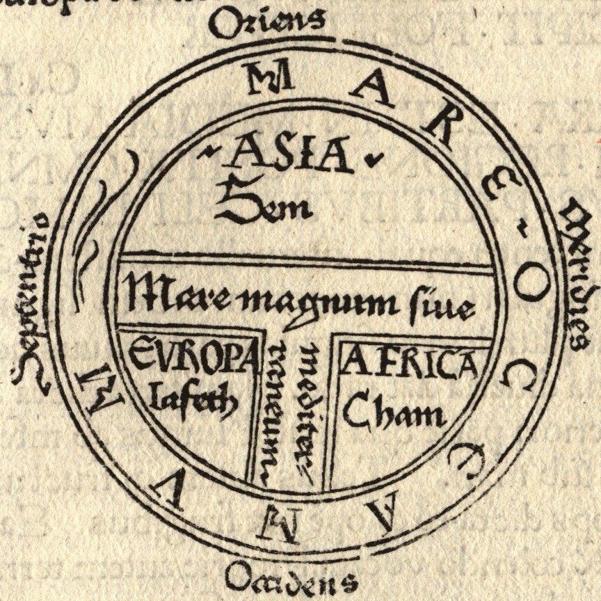
T-O map (orbis terrae,
orb or circle of the earth), is a type of mediaval world map and the
earliest known representations of this sort is attributed to Beatur of
Liébana, an 8th century Spanish monk. The T is the Mediterranean, dividing the three continents, Asia, Europe and Africa, and the O
is the encircling Ocean. Jerusalem was generally assumed to lie at the
center of the circle. The T-O map remained a common representation since
at least the 7th century.
No comments:
Post a Comment